How we drew a map of Egypt as it was in 1985
The first question we had to answer was whether to invent a country or play in the real Egypt. We picked the real one, and everything else in the game is built on top of it.
The land and the towns
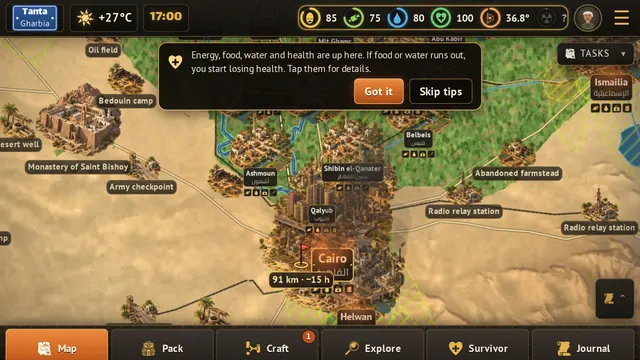
The land itself, meaning the Nile, the Delta, the canals, the roads and the railways, mostly comes from an open map dataset called Natural Earth. But it has few towns, not enough to play on. So we wrote the list of towns by hand: 156 towns and cities with Arabic and English names and rough populations from the 1986 census.
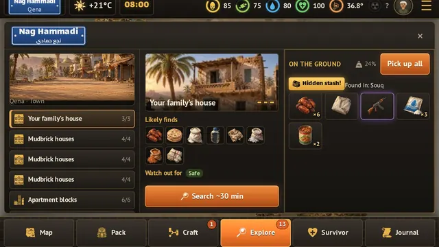
The size matters because it decides what kind of place you are in, and what you find when you search it. Cairo is in the millions. 6th of October City and 10th of Ramadan are tiny, because they had only just begun.
The governorates, as they were
The governorates are the ones of 1985. So Luxor is still part of Qena, and Nag Hammadi, Qena and Luxor all sit in one governorate on your map.
Getting around
When you tap a place and choose to travel, the game looks for the fastest route. It likes roads, and it goes around water, closed borders and fallout. Sand slows you, and so do night, a heavy pack and injuries.
On the way, places you did not know about turn up: farmsteads, Bedouin camps, army checkpoints, desert wells, monasteries. They show up as you explore, not all at once.
What is not exact
This is a game, not a survey. The roads are simplified, the populations are rough, and the towns we wrote by hand can have a slip in a position or a name.
If you find a town in the wrong place, or a name spelled in a way you would never say it, write to support@nilesend.com. It is the best help you can give us.